26 Feb 2014 - As technology
has improved, so has our understanding of
the environment. For example, satellite
imagery and other remote sensing techniques
can quickly show us that forest cover is
increasing in Europe. But in order to capture
the complexity of ecological conditions
and dynamics on the ground, it is essential
to also use field-based surveying methods.
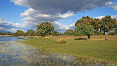
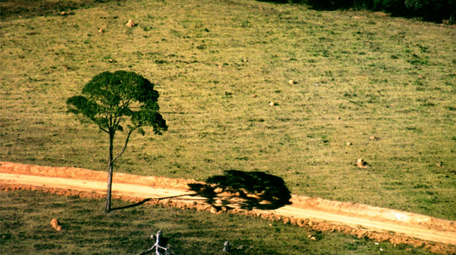
Habitat and vegetation
mapping often incorporate many different
methods, including on-the-ground surveys,
satellite observations and statistical analysis.
Some mapping studies also show what vegetation
might look like if human pressures were
removed.
In Europe there is a
long tradition of such mapping, which has
increased since the adoption of the 1992
European Union Habitats Directive. A new
report, ‘Terrestrial habitat mapping in
Europe: an overview’, includes in-depth
information on recent mapping work, a historical
perspective and a review of current methods.
The report includes
contributions from more than 70 scientists.
It was initiated by the French National
Museum of Natural History to serve national
purposes, and subsequently published as
a joint European report by the European
Environment Agency (EEA) and the museum.
It was written with the support of EIONET,
the EEA network.
The report focuses on
projects which cover large areas, often
entire countries, at relatively large scales
(typically 1:50 000) and using related classification
systems developed in the field of phytosociology,
the study of plant communities. Several
projects are described in some detail, in
order to highlight the variety of methods
used and the level of organisation required
for successful projects.
Vegetation scientists
have made significant advances in the development
of habitat mapping across Europe, the report
says, although there is still a need to
make classification systems compatible,
which is one of the aims of the EEA’s EUNIS
habitat classification.
Mapping habitats clearly
plays an important role in improving knowledge
to support implementation of the EU 2020
Biodiversity Strategy. Habitat and vegetation
surveys can also feed into a range of different
policy areas, from designating protected
areas to spatial planning.